


RandoCartes — the map
The map is of course the principal feature of the application. You can zoom in and out and move about the map as you wish.
Action at a position
If you double click on a position on the map’s surface (but only when annotations are visible) you will be presented with the following options:
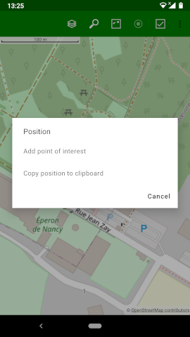
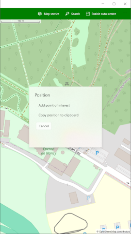
These options are described below.
Add point of interest
If you select this option, you will be asked for details of the point of interest you wish to add.
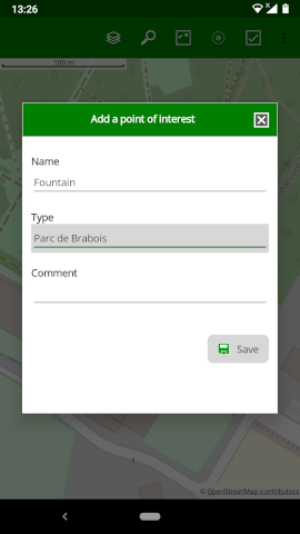
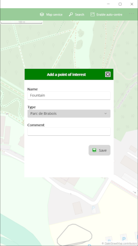
Here you should enter a name for the point (it doesn’t have to be unique). You may also assign a type and add an optional comment. These values are described in more detail under “managing points of interest”.
Copy position to clipboard
If you select this option, the latitude and longitude coordinates of the position at which you clicked on the map will be copied to the clipboard. You are then free to paste them into another application that is capable of using them.
Points of interest
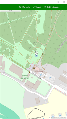
Points of interest that you have already added are shown on the map like this: ![]()

Note that if too many points of interest were shown on a map, the application would become very slow. For this reason, points of interest will only be shown on higher zoom levels where there are sufficiently few points of interest to show. If you cannot see the points of interest, try zooming in to a smaller area so that the fewer number of points will allow them to be displayed.
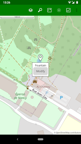
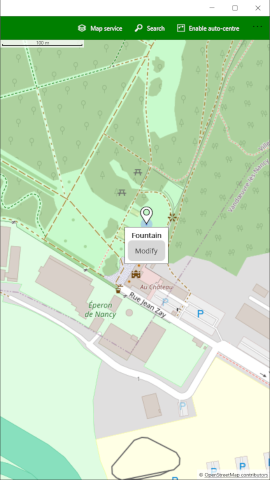
If you click on a point of interest a small panel will be shown indicating the name of the point and allowing you to modify the point of interest details.
If you click on the Modify button in the panel you will be able to modify all the details of the point of interest.
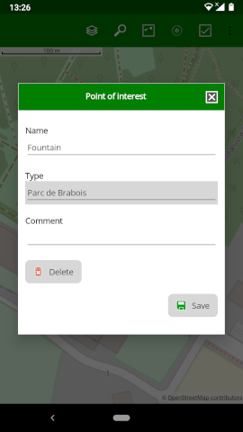
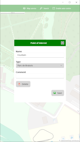
Here you can modify the name for the point, change the type or modify the comment. (These values are described in more detail under “managing points of interest”). You may also delete the point of interest.